The process of transferring data from one location to another, from one format to another, or from one
application to another is known as data migration. It is usually the result of the introduction of a new
system or place for the data.
The business driver is often application migration or consolidation, in which ageing systems are
replaced or supplemented by new applications that share the same data set.
Today, data migrations are frequently initiated as businesses transition from on-premises infrastructure
and applications to cloud storage and applications in order to optimise or alter their operations.
The operating procedure is transferred to the new device or system after the data is transferred. Data
migration is critical for any firm in order to make better business decisions. It enables enterprises to
increase their data storage, administration, and analytical capabilities by adding new technologies and
procedures.
Look into and assess the source. Before migration of data, you must know (and understand) what you're
migrating and how it will fit into the target system.
Before migrating data, you must first know (and comprehend) what you're transferring and how it will fit
into the target system. Learn how much data is being pulled over and how that data appears.
The design phase is when organisations decide whether to do a big bang or a gradual migration. This also
includes sketching out the solution's technical architecture and outlining the migration steps.
You may begin to identify timetables and any project problems by taking into account the design, the
data to be pulled over, and the destination system. The entire project should be documented at the end
of this stage.
It might be tempting to take a "just enough" development approach to migration. However, because you
will only go through the implementation once, it is critical that you do it properly the first time.
Breaking the data into subsets and building out one category at a time is a popular strategy, followed
by a test. If a company is working on a massive migration, it may make sense to develop and test
simultaneously.
The testing process does not end when the code is tested during the build step. It is critical to verify
the data migration architecture using real data to confirm the application's correctness and
completeness.
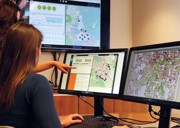
AKSENTT has extensive expertise in providing cartography mapping services to clients worldwide including
cartographic styling, text annotation and placement, design and development of map furniture, and
preparation of print ready digital outputs.
We offer customized solutions to our clients with value added services, such as modifying a geo-database
for a specific country to enable provision of wall, fold, or flip maps, or regional and country map
products.
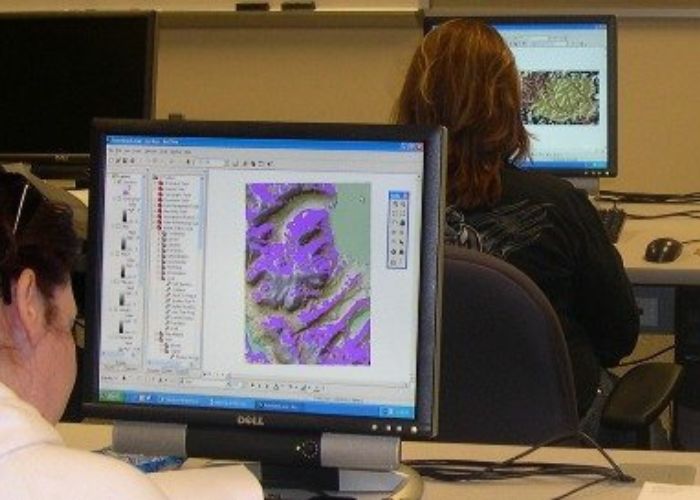
Data Development – Creating map databases involving creation of RAW GDB, Maplex and
Structure GDB
Cartographic Refinement – Geometry cleanup, styling, text tidy, annotation and
placement
Layout Design and Indexing – Custom layout creation and preparation of map indexes
Custom Map products – including fold maps, atlas maps, recreation maps
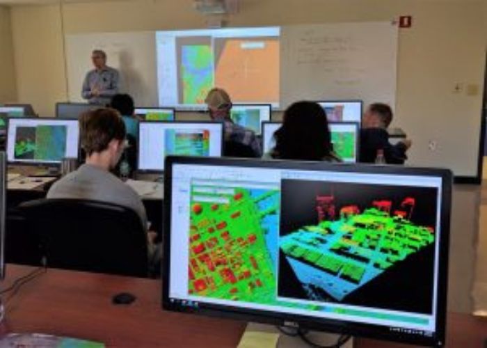
3D Mapping: Three-dimensional (3D) maps assist decision-makers in understanding how the design and
height of a structure impacts the surrounding neighbourhood. helping to enhance positive effect while
also lowering perceived negative repercussions. 3-D maps offer a more comprehensive picture of space and
explain how things connect to others in their surroundings, give a better degree of accuracy in sizes,
heights and distances.
3D mapping is a new machine vision technique in the realm of mapping that is another miracle of current
technology.
3D mapping allows users to profile three-dimensional objects, giving the newest technology tools for
seeing and gathering information. Local governments and planners can utilise 3D maps to get a realistic
image of a region.
Traditional maps are less effective for navigation than digital maps. Digital maps employ real-time
location data to deliver more accurate and fastest routes. Also give traffic information, provide
turn-by-turn guidance, route type and Estimated time of travelling.
When there are many routes to the destination, a delivery worker will choose the shortest one to save
time and fuel. A decent navigation software should help you choose the best route by analysing distances
and traffic statistics.