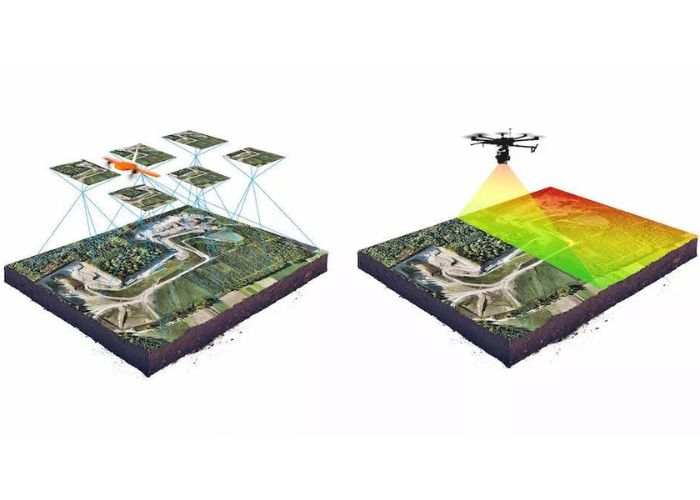
LiDAR
AKSENTT offers processing of high precision LiDAR datasets and deliver the outputs in computer-aided design (CAD) and geographic information system (GIS) formats. We utilize commercial as well as open source software for LiDAR data processing.Light Detection and Ranging (LiDAR) is an optical remote sensing technology used to collect a wide range of topographical data.

Breaklines and Features

LiDAR technology, however, does not inherently collect the breaklines necessary to produce traditional DTMs. Breaklines have to be developed separately through a variety of techniques, and either used with the LiDAR points in the generation of the DTM, or applied as a correction to DTMs generated without breaklines.

Mobile Mapping and Stationary Scans datasets are highly accurate. Breaklines from Mobile Mapping and Stationary Scanning are extracted in post processing. However breaklines from Conventional Survey methods are ready for use.

Our Services Include:
Digital Elevation Model
Land Use Classification
Feature Extraction like buildings, trees, roads, roadside feature, power lines etc.
Stereo Data Extraction –
Feature Mapping
Contact Us
Aksentt Tech Services Limited
CIN: U64200MH2007PLC176804
Corporate Office
46, Free Press House Free Press Journal Marg , Nariman Point,
022-35115227
info@aksentt.tech
Social Media