Utility Planning
Utility planning, in its most basic form, begins with the most efficient operation of existing electrical, water, gas, telecommunications, and sewage facilities and forecasting the future well enough to provide additional facilities to manage the ultimate result of infrastructure development within the civil body.

By analysing geospatial data via satellite imagery, aerial photography, and remote sensors, users gain a comprehensive picture of the land and infrastructure.

GIS may be used to manage the daily operations of numerous utilities.

It is useful for incorporating information from other sources, such as satellite data and attribute information, into utility data modelling. GIS databases with topologies help utility services such as power outages, main breaks, and service disruptions.

Oil And Natural Gas

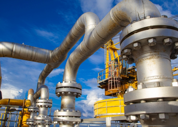
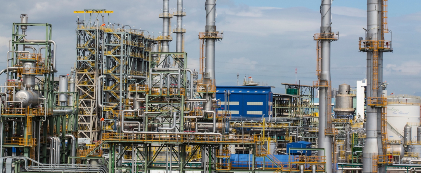
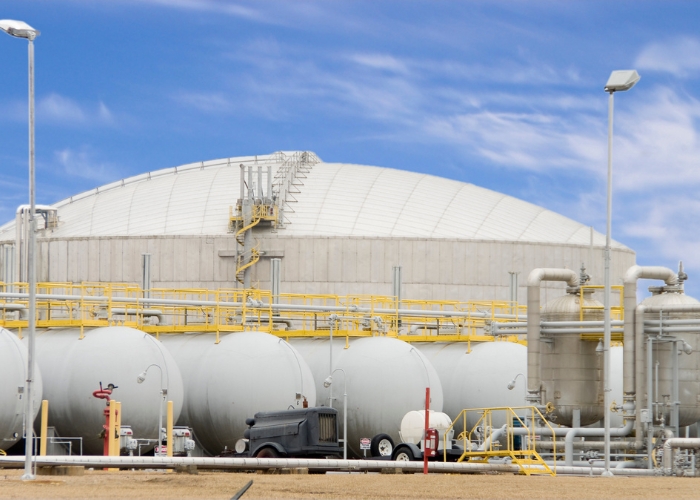
Aksentt Tech Services is driving the technical and digital transformation in the Oil & Gas business by utilising modern GIS. Numerous segments of this industry can profit from aksentt tech services' location analytics and intelligent mapping solutions.

Sewage Facilities

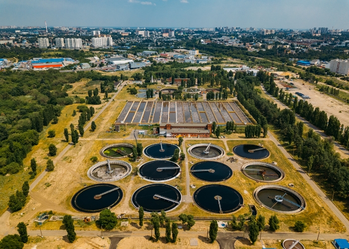
GIS may be used to manage sewage treatment plants. It removes the need for bulky printed maps and allows sanitarians to quickly access geographic information critical to decision making.

Telecom

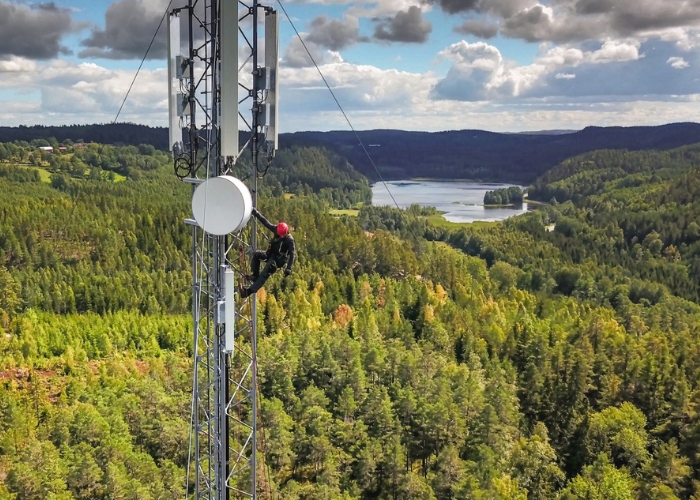
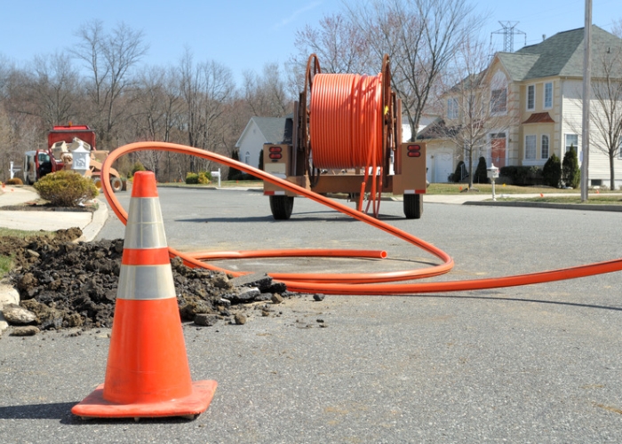
The telecoms or telecom sector is rapidly increasing and propelling the industry to even greater size and scale, aided by rising urbanisation and the implementation of the Internet of Things (IoT). By combining network asset information with management procedures, GIS technology helps telecommunications professionals to address and simplify common business activities related to planning and operations.

Electrical

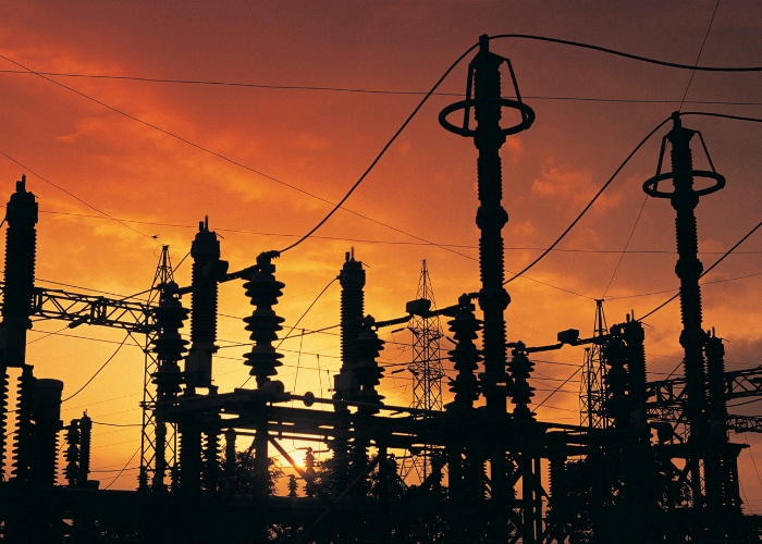
The consumer's complete information is provided via GIS, together with a network map indicating the location of the consumer's electrical source.


Geographic Information System (GIS)
Geographic Information System: GIS is highly vital in today's society because it helps to digitise all of the advanced things that make our lives easier. We can now travel everywhere in the world because to GIS.

Aksentt provide (GIS) solution in 2D and 3D mapping, Survey, navigation, and Utilities. With the team of GIS specialist and experience.
Contact Us
Aksentt Tech Services Limited
CIN: U64200MH2007PLC176804
Corporate Office
46, Free Press House Free Press Journal Marg , Nariman Point,
022-35115227
info@aksentt.tech
Social Media